Map to the Lodge
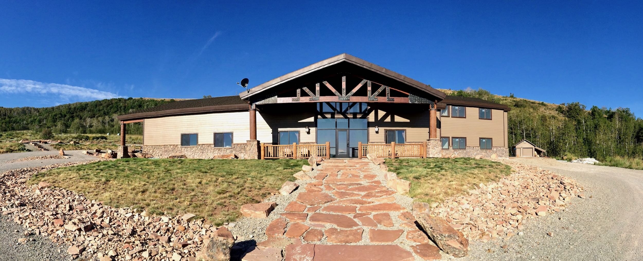
The Lodge
Directions through Croydon, UT
Take exit 111 to Croydon, UT, off of I-84. This is located between Morgan and Henefer. (directions to Croydon)
follow the road north across Weber River
1.1 miles stay left to Lost Creek
Continue for 11.1 miles on lost creek road to the dam on Lost Creek Reservoir.
Follow the road around the reservoir for 2 miles until the yellow gate. Use the combo lock to open and close the gate. (make sure to spin the lock combo after closing it)
Continue on the road for 3.4 miles until the second gate. Use combo and close the gate. (make sure to spin the lock combo after closing it)
In 200 feet, continue going straight.
2.2 miles stay left at a fork in the road
You will then drive through four creek crossings over the next couple of miles.
2.3 miles, stay left at the fork.
You will drive through one more creek crossing before leaving the drainage and driving up the “Wall.”
Follow the switchbacks up the mountain for 1.9 miles, and the lodge will be off to your right.
*From exit 111 to the lodge, you are following the Lost Creek Drainage the entire way. When you get past the two gates and are on the Deseret property, follow the main Lost Creek Drainage with the stream. Only in the last couple of miles will you be moving away from the steam.
**You can click on the pin and be redirected to google maps. Google Maps will sometimes try to direct you through Evanston, WY, and coming in from the North East or it will try to give you directions driving through Huntsville, UT, and over Highway 39. Ignore both of these routes. You need to first drive to Croydon, UT, then use the Google map pin to the Lodge.
***Here is the OnXmaps pin for the lodge. If you have Onxmaps, download “the lodge” pin by CLICKING HERE.
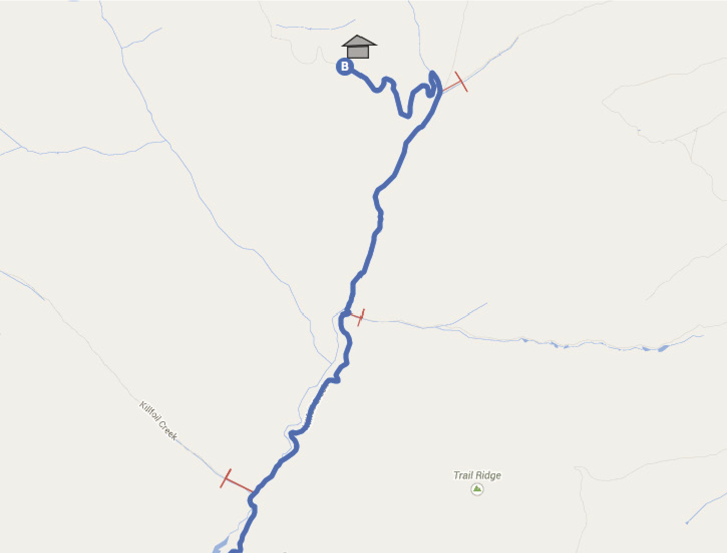
Map through Croydon from the second gate to the Lodge